Trails on tape.
Every notable Kauai hike outside the Hāʻena / Kalalau system. Tap any trail name to jump to a YouTube search and preview terrain, viewpoints, and current conditions before you go.
Kauai has 7+ microclimates — weather can flip in minutes
The North Shore can dump 6 inches of rain on Hāʻena while Poipu stays sunny. Mt. Waiʻaleʻale is one of the wettest spots on Earth (~450 inches/year), and the same trail can be dry mud at 9am and a slick stream-crossing nightmare by noon. Cloud caps roll over the Kalalau and Kokeʻe ridges with no warning, and fog can swallow a trail in 30 seconds.
Don't explore drainages, ridges or trails you're not familiar with. A wrong fork on Powerline, Awaʻawapuhi or any Kokeʻe trail can mean a search-and-rescue helicopter — or worse. Check the spot forecast for your specific trailhead, tell someone your plan, turn around if the weather changes, and stay on marked trail.
Check live brown-water & flood advisories →Trailhead map
Tap a marker to jump to that trail's details below.
Switchbacks up the 'giant's' chest to a panoramic East Side ridge. Sunrise hike favorite.
🚗 Free at Haleilio Rd trailhead. Limited spots — arrive before 7am.
Descends a Kokeʻe ridge to a 2,500-ft cliff overlooking the Napali Coast.
🚗 Free roadside at HWY 550 Mile 17.
Boardwalk through the highest swamp in the world, ending at Kilohana lookout over Hanalei.
🚗 Puʻu o Kila Lookout — end of HWY 550.
Drops into Waimea Canyon to a two-tier 800-ft waterfall.
🚗 Halemanu Rd off HWY 550 (4WD recommended).
Rolling ridgeline with Mt. Waiʻaleʻale views. Family-friendly, gorgeous after rain.
🚗 Free at Kuamoo Rd end. Watch for mud.
Steep climb above Hanalei taro fields with one of the best panoramas of Hanalei Bay.
🚗 Free at Hanalei River bridge / Ohiki Rd.
Coastal cliff walk from Shipwreck Beach to wild Maha'ulepu — sinkholes, sea caves, blowholes.
🚗 Shipwreck Beach lot (Grand Hyatt).
Old utility road through Kauai's interior connecting East and North shores. Wild, muddy, remote.
🚗 Powerline trailhead off Kuamoo Rd.
Walk the longest beach in Hawaii along the base of the Napali cliffs.
🚗 Polihale State Park (4x4 advised on dirt road).
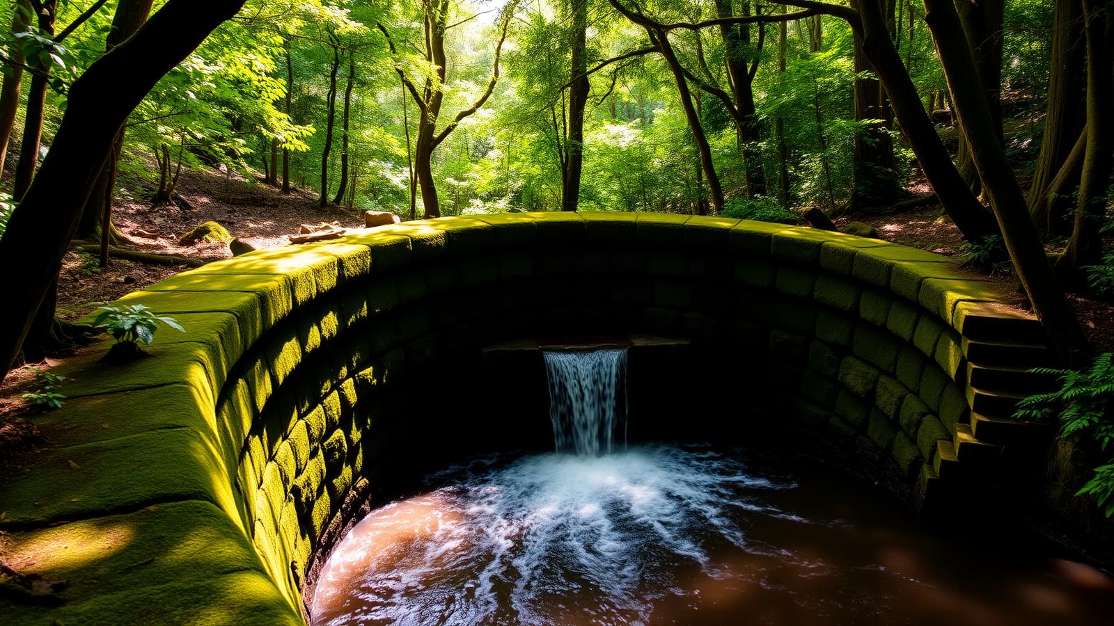
Through the world's largest mahogany plantation. Passes the iconic curved stone dam.
🚗 Anaina Hou Community Park ($5 honor box).
Quieter back side of Sleeping Giant — same views, half the crowd.
🚗 Free at Lokelani Rd trailhead.
Boardwalk through the world's highest tropical swamp at ~4,000 ft. Rare native birds (ʻapapane, ʻiʻiwi) and bog plants found nowhere else. Misty, muddy, magical.
🚗 Puʻu o Kila Lookout (via Pihea) or Mohihi Rd 4WD trailhead.
Short interpretive loop showcasing the endemic ʻiliau plant — a Kauaʻi-only silversword relative — with panoramic views into Waimea and Waiʻalae Canyons.
🚗 Paved pullout on HWY 550 between MM 8–9.
The only trail descending to the floor of Waimea Canyon — drops ~2,200 ft over 2.5 miles to the Waimea River and swimming holes. Brutal climb back out.
🚗 ʻIliau Nature Loop lot on HWY 550 (state park fee).
Remote backcountry extension from the Waimea River into wild Koaie Canyon. Multiple stream crossings (impassable after rain), primitive camping at Lonomea and Kaluahaulu.
🚗 Same as Kukui Trail — requires Kukui descent first.
Peaceful trail through native ʻōhiʻa and koa forest along Kawaikōī Stream. Gentle crossings, swim pools, sugi pine groves, and some of the best birding in Kokeʻe.
🚗 Sugi Grove / Kawaikōī picnic area off Mohihi-Camp 10 Rd.
Dramatic ridge descent from Kokeʻe HQ with sweeping views into Nuʻalolo Valley and the Nā Pali Coast. Often combined with Cliff + Awaʻawapuhi for an iconic full-day loop.
🚗 Kokeʻe State Park near ranger station / museum.
Narrow, exposed cliff-edge connector linking Nuʻalolo and Awaʻawapuhi trails. Some of the most dramatic Nā Pali views in Hawaiʻi — 3,000 ft vertical sea cliffs.
🚗 Access via Nuʻalolo or Awaʻawapuhi trailheads on HWY 550.
Quiet ridge trail with rare east-facing views across Waimea Canyon. Native wet forest, minimal crowds — but requires 4WD road access.
🚗 Off Mohihi-Camp 10 Rd (4WD required).
Penetrates the heart of the Alakaʻi Wilderness Preserve through primeval bog and native wet forest to Waiʻalae Stream. Mud, stream crossings, solitude, exceptional birdlife.
🚗 Mohihi-Camp 10 Rd trailhead (4WD required).
Seldom-hiked backcountry descent from the Kokeʻe plateau into the Waiʻalae drainage. Native forest, rugged terrain, limited signage — for experienced hikers seeking solitude.
🚗 Mohihi-Camp 10 Rd area (4WD advised).
Wild, exposed ridge trail above the remote Miloliʻi coastline on the western Nā Pali. Dramatic cliff views; poorly maintained — experienced, well-prepared hikers only.
🚗 End of Miloliʻi Ridge Rd off HWY 50 (4WD/high-clearance).
Short interpretive walk through arboretum plantings in quiet Makaha Valley. Mix of native and introduced tree species, rarely crowded.
🚗 Roadside along Makaha Rd, West Kauaʻi.